Browse Collection › Maps › Durham, North Carolina : map showing the voting precinct boundary lines and voting places of the city of Durham
Go to Page:
of 2
|
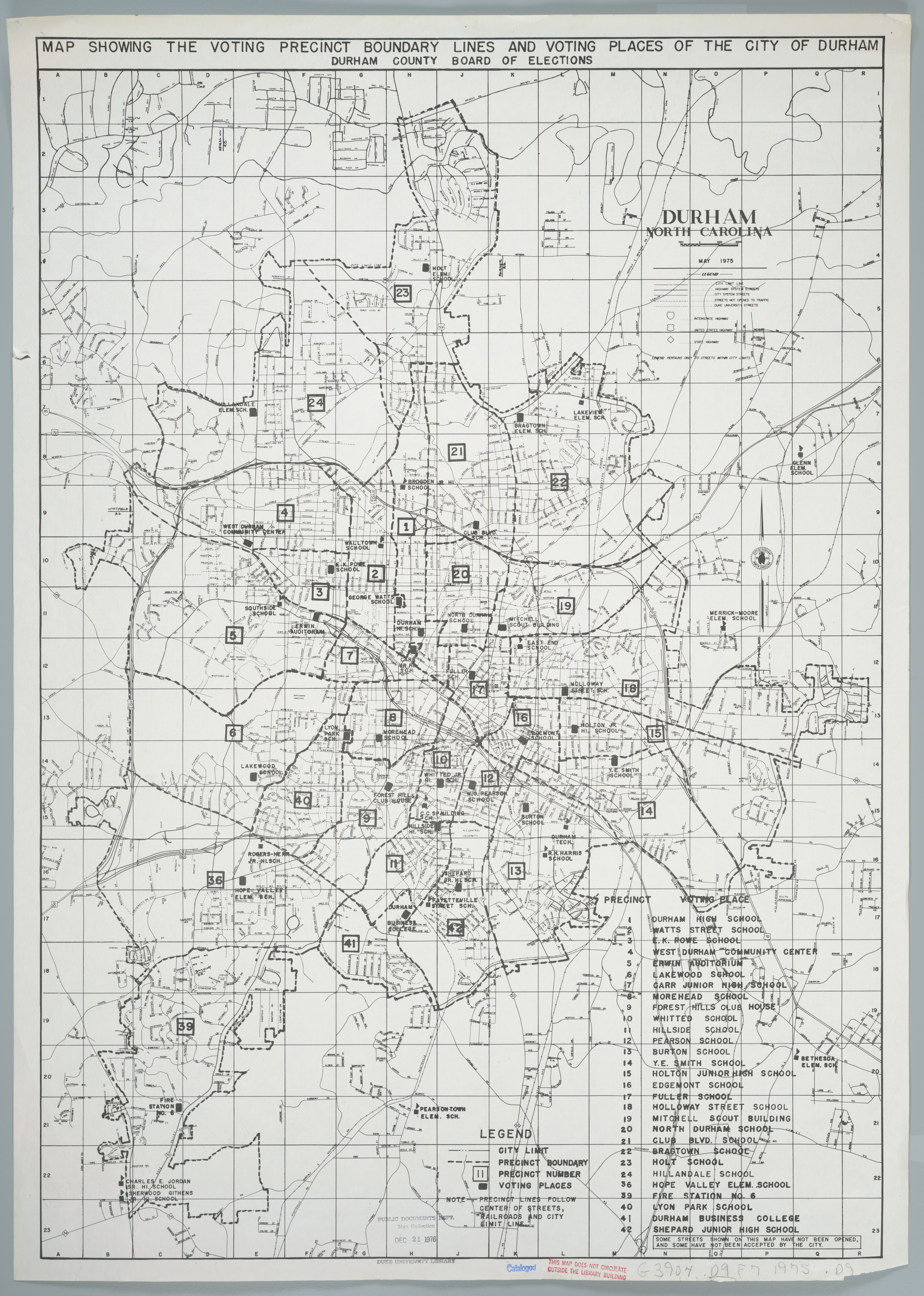
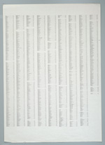
Page 1/2 Durham, North Carolina : map showing the voting precinct boundary lines and voting places of the city of Durham Creator(s): Durham County (N.C.). Board of Elections, Publisher Durham (N.C.). Dept. of Public Works, Author Date: 1975 Description: The Durham County (N.C.) Board of Elections published this map of the City of Durham, North Carolina in 1975. It delineates the "city limit line" identifies railroad lines and distinguishes "highway system streets," "streets not opened to traffic," "Duke University streets," Interstate Highways, U.S. Highways and State Highways. The reverse side of the map provides an index to city streets. Additionally, the map provides a list of precincts and identifies the location of schools and fire stations within the city limits. Scale [1:28,000] Source: Government Documents, Perkins Library, Duke University Dimensions: 68 x 49 cm. Library of Congress Subject Headings: Durham (N.C.) -- Maps -- 20th century Durham (N.C.) -- History Election districts -- North Carolina -- Durham -- Maps Durham (N.C.) -- Administrative and political divisions -- Maps Geographic Term: Durham (N.C.) |
digitaldurham@duke.edu · About this site · Copyright © 2001 - 2006. Trudi J. Abel. All Rights Reserved.
The copyright interest in the material in this digital collection has not been transferred to the Digital Durham project. These text and images may not be used for any commercial purpose without the permission of the David M. Rubenstein Rare Book & Manuscript Library and the Digital Durham Project. Copyright permission for subsequent uses is the responsibility of the user.