Browse Collection › Maps › Sanborn Fire Insurance Map, Durham, North Carolina, 1888 (Google Earth Overlay) Beta
Go to Page:
of 11
|
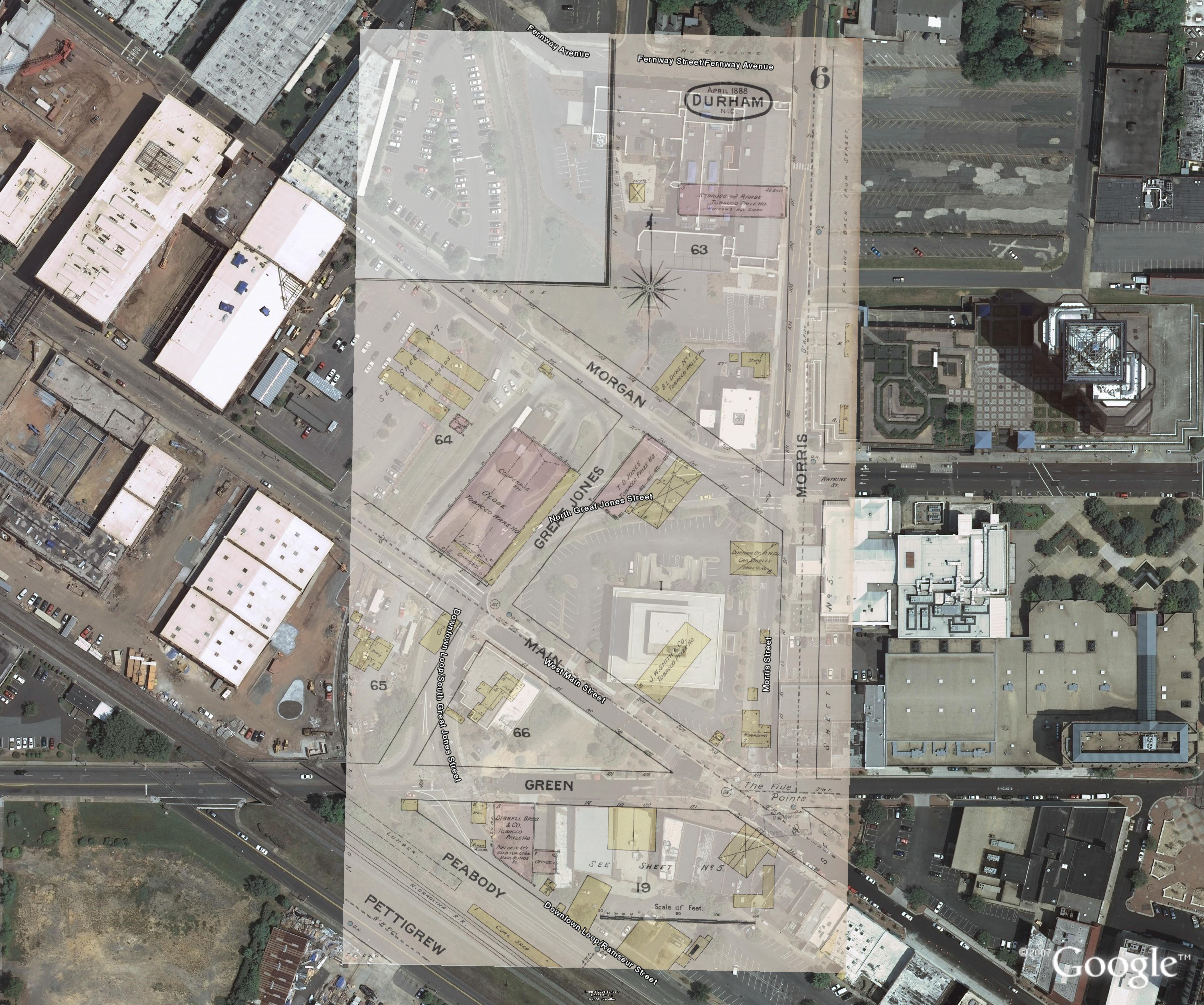
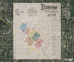
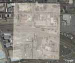
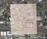
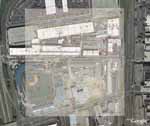
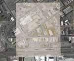
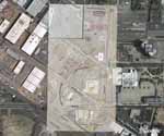
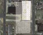
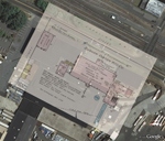
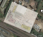
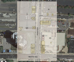
Page 6/11 Sanborn Fire Insurance Map, Durham, North Carolina, 1888 (Google Earth Overlay) Beta Creator(s): Sanborn (Firm), Publisher Date: 1888 Description: Using the Google Earth web application, we have created semi-transparent images from the original set of Fire Insurance Map of 1888 and placed these over satellite imagery of present-day Durham. Because of a paucity of information of some buildings presented on pages 6 and 7, we provide an approximate location for the Bobbin and Shuttle Mill, the Durham Cotton Manufacturing Company, and J.W. Allen's Tobacco Prize House. Source: North Carolina Collection, Wilson Special Collections Library, University of North Carolina at Chapel Hill, Chapel Hill, North Carolina. Copyright: Reproduced with the permission of the North Carolina Collection, Wilson Special Collections Library, University of North Carolina at Chapel Hill, Chapel Hill, North Carolina. Notes: For the 158 MB KMZ file, click here Library of Congress Subject Headings: Real property -- North Carolina -- Durham County -- 19th century Real property -- North Carolina -- Durham -- Maps Real estate development -- North Carolina -- Durham County Durham (N.C.) -- Maps -- 19th century Durham (N.C.) -- Commerce -- History -- 19th century Durham (N.C.)--Maps--21st century Geographic Term: Durham, N.C. |

digitaldurham@duke.edu · About this site · Copyright © 2001 - 2006. Trudi J. Abel. All Rights Reserved.
The copyright interest in the material in this digital collection has not been transferred to the Digital Durham project. These text and images may not be used for any commercial purpose without the permission of the David M. Rubenstein Rare Book & Manuscript Library and the Digital Durham Project. Copyright permission for subsequent uses is the responsibility of the user.